Portada » Initiatives » Competition » Richard H. Driehaus Architecture Competition » Sites » Aracena, Huelva
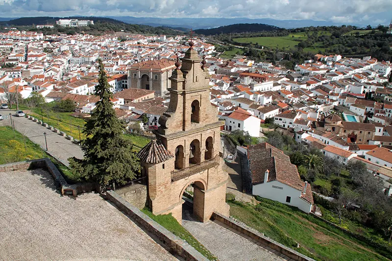
Aracena, a municipality located in the Sierra de Aracena y Picos de Aroche, in the north of the province of Huelva, is one of the three municipalities selected for the new edition of the Richard H. Driehaus Architecture Competition. Declared a Historic Site and recognised for the rich heritage of its urban centre, the municipality preserves a complex layering of historic urban patterns.
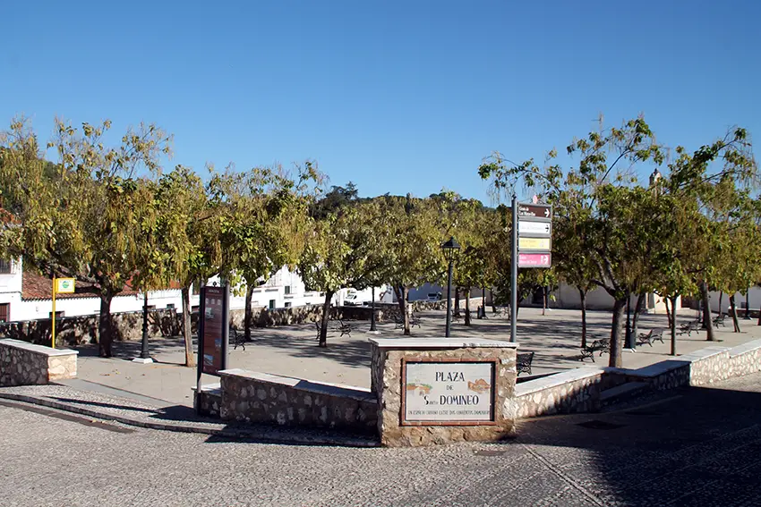
The proposal envisages the landscape restoration of the hillside, as well as the design of 12–15 public housing units, new green areas and parking spaces to lighten traffic around the Castle, the consolidation and enhancement of the medieval wall, as well as the Cilla building (to be repurposed as part of the town’s museum facilities), and the reorganisation of the pedestrian routes through the old suburb by creating a new link to the Castle from Santo Domingo Square (Plaza de Santo Domingo).
Aracena is located in the northern part of the province of Huelva, within the Sierra de Aracena and Picos de Aroche Natural Park. Its municipal area, covering 184 km², includes 6 villages and has a population of 8,636. It serves as the administrative, commercial, and tourism capital of the region and is the seat of the district comprising 31 municipalities.
Aracena has a Mediterranean climate with oceanic influences, which, in terms of vegetation, supports one of the densest forested areas in Europe. Alongside the Mediterranean forest composed of holm oaks, cork oaks, oaks, and gall oaks, other species characteristic of more humid areas coexist, such as chestnut, poplar, and elm trees. The predominant landscape is the dehesa, where the Mediterranean forest has been transformed over time by human activity to achieve a balanced use of natural resources.
Its town center, designated a Historic Site and Touristic Municipality of Andalusia, extends across the northern slope of Cerro del Castillo and the valley area.. Its traditional architecture, as in many Andalusian villages, stands out against the green landscape and the rugged terrain of the Sierra Morena. The town center is notable for the rich heritage its history has preserved: it features three buildings designated as Sites of Cultural Interest in the “monument” category, in addition to protected archaeological sites such as El Castañuelo.
The oldest archaeological finds date back to prehistoric times, but the settlement reached its peak during the High Roman Empire period and continued throughout the 5th to 7th centuries AD, during the so-called Late Roman and Visigothic periods. The summit of Cerro del Castillo was the original focus of peopling in the area: there is evidence of a significant settlement from the Spanish-Muslim period, Qatrašāna, with remains from the Caliphate, the Taifa kingdoms and the Almohad periods (10th–13th centuries), prior to the Portuguese conquest in the mid-13th century by the Malta Order.
This situation gave rise to the Algarve conflict, in which, as a result of the Crown of Castille’s claim to the town, the castle that crowns the municipality (and gives its name to the hill, Cerro del Castillo) was built. The dispute with Portugal was not resolved until the signing of the Treaties of Badajoz in 1267 and Alcañices in 1297, under which Aracena became part of Castille as a royal domain and was incorporated into the Council of Seville.
The medieval repopulation of Aracena was carried out by people from León and Galicia. Aracena was a fortified town perched on a hill during the Middle Ages, but, over time, the settlement expanded, giving rise to a suburb (arrabal), whilst the ‘old town’ was progressively abandoned. During the 15th and 16th centuries, the heart of the town was the Plaza Alta, where the Town Hall, the parish church of La Asunción and various noble houses were built. Urban expansion continued towards the Mudejar chapels (San Pedro, Santa Lucía, San Roque and Santo Domingo), situated on the roads to Huelva, Portugal, Extremadura and Seville. This gave rise to the characteristic urban landscape of Aracena.
During the Modern Age, the town underwent significant development, reflected in its population growth and urban expansion; a prime example of this is the founding of four convents of the Dominican and Carmelite orders.
Following the crisis caused by the Restoration War with Portugal (1640–1668), a period of recovery took place during the 18th century, which found expression in the traditional architecture of the historic quarter. In 1833, as part of the new administrative reorganisation, Aracena was separated from Seville and became part of the province of Huelva.
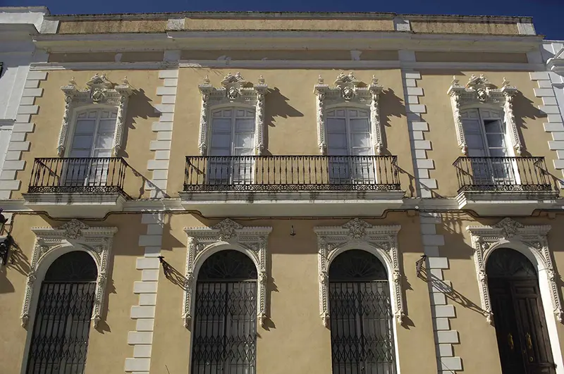
In the late 19th and early 20th centuries, Aracena experienced a period of significant growth, which was reflected in its urban planning and architecture; and, in particular, in the construction of numerous manor houses and buildings designed by the renowned architect Aníbal González. In its town centre, the traditional and the modern coexist in perfect harmony.
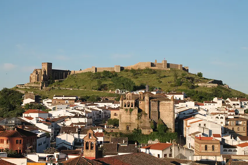
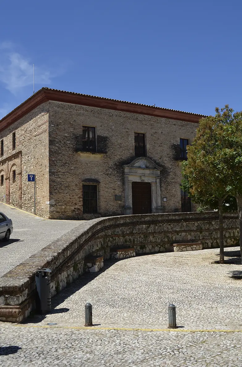
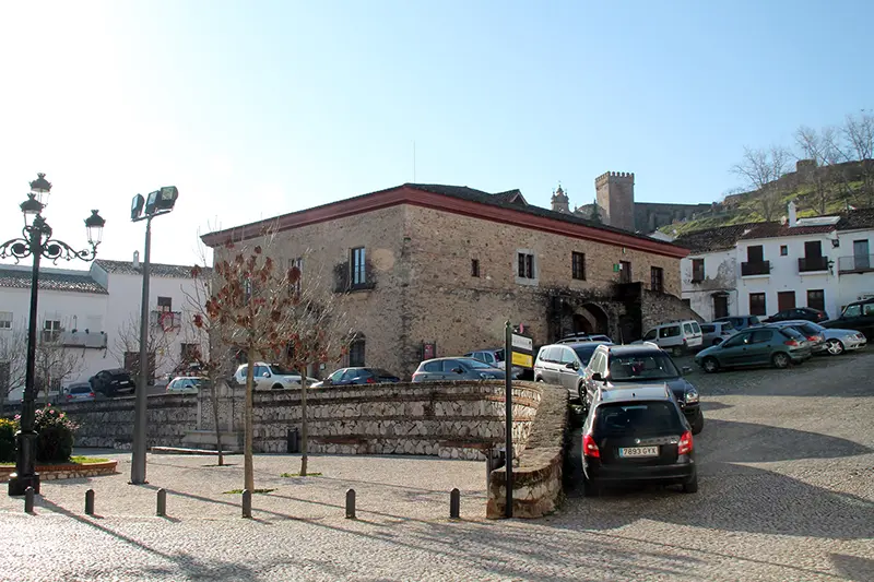
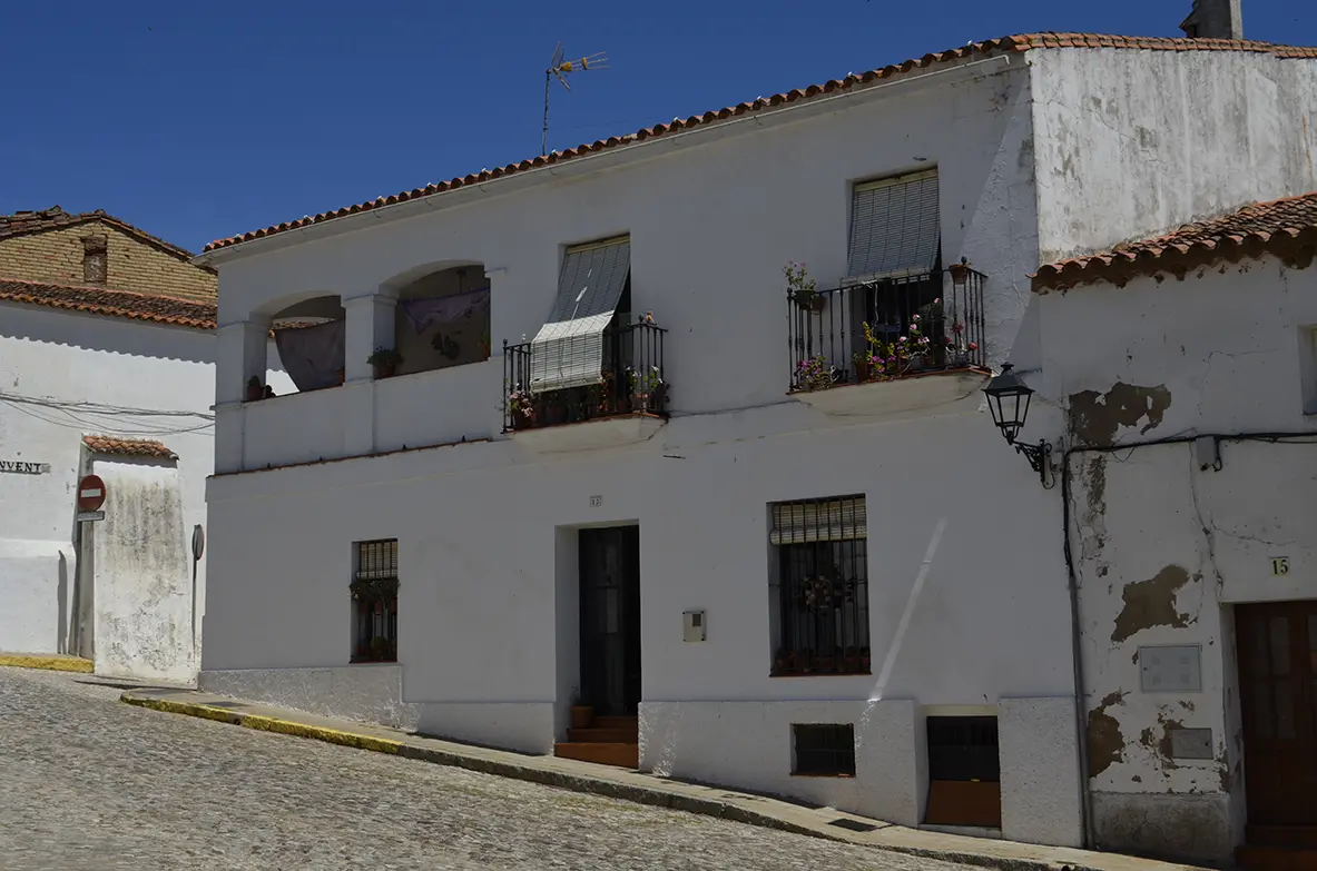
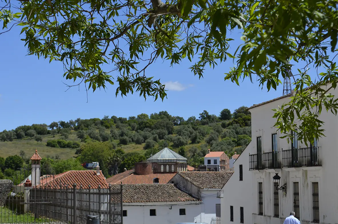
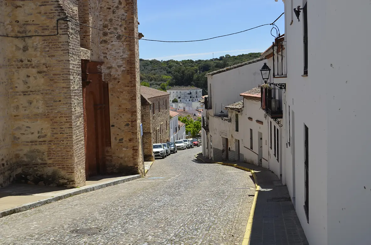
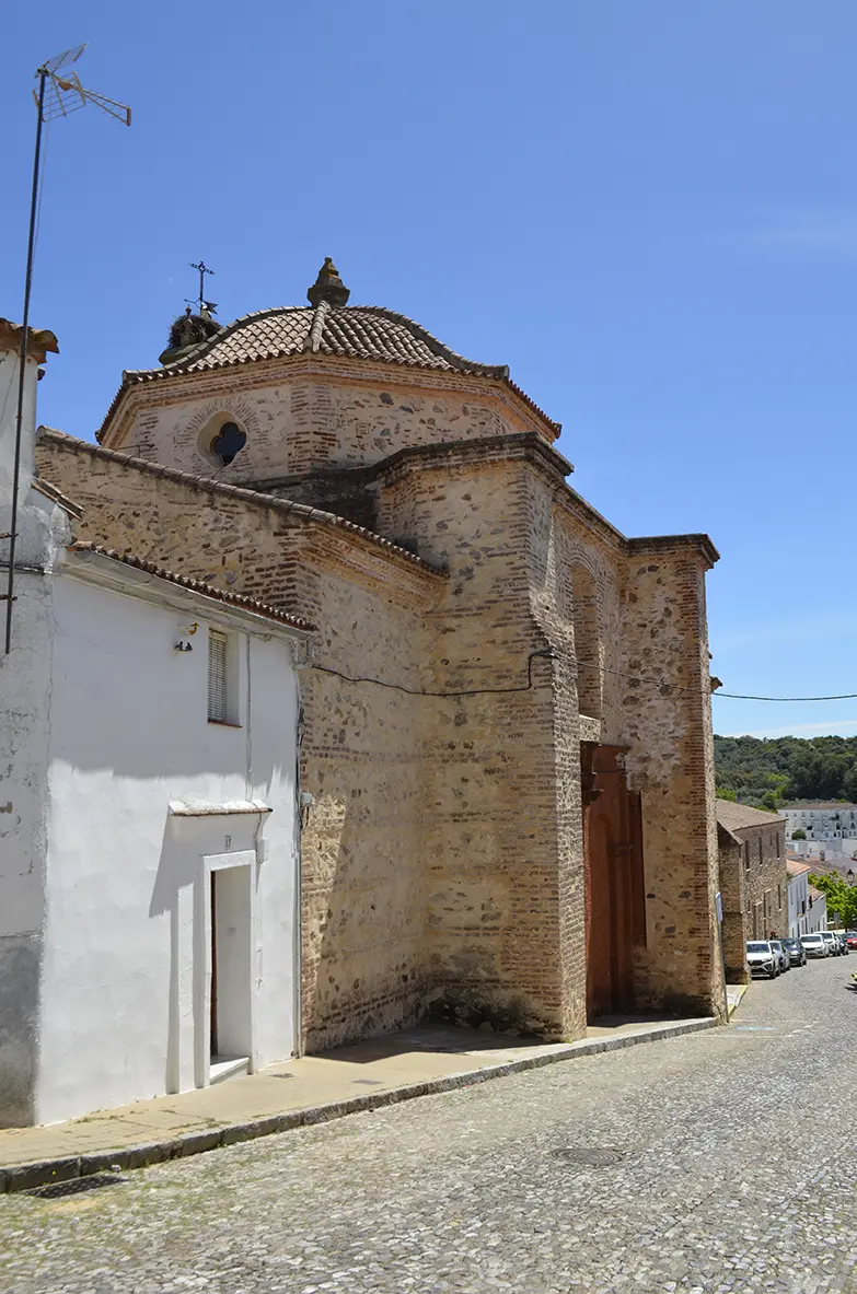
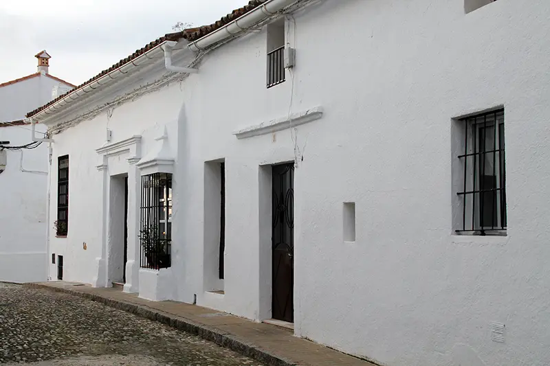
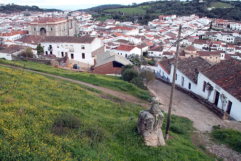
The intervention area is located between Santo Domingo Square and the highest part of Aracena. The town’s principal heritage assets dating from the medieval period are located in its immediate surroundings: the Cilla, the Cabildo Viejo, the Castle, and the Priory Church. The highest part of the intervention area is popularly known as the “Ejido del Castillo” and is municipally owned.
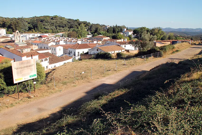
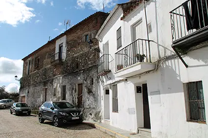
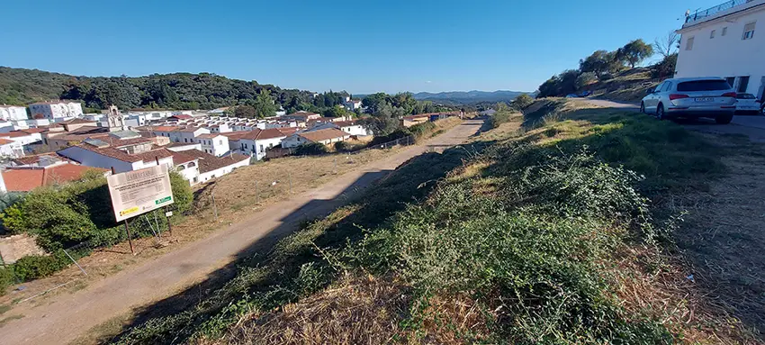
Until now, the medieval suburb has remained a sparsely populated area, with dwellings in a poor state of repair and a degraded street network affected by evident circulation problems. These shortcomings are further exacerbated by its location close to the municipality’s principal tourist attractions. What in the Middle Ages formed the edge of the fortified town as it expanded in response to population growth remains, even today, an urban edge to the built-up area—although now it is the edge of a town that has progressively developed down toward the valley.
In addressing these shortcomings, particular importance is attached to the hillside connecting the Ejido (the upper part of the area) with Santo Domingo Square. In the upper part of the slope, a development project carried out during the 1990s involved extensive excavation and terracing of the hillside, causing a severe impact on the landscape. The site subsequently became municipal property. Today, the visual condition of this area, which has been used for dumping refuse and construction debris, is highly degraded, with soil erosion and landslides as well as the conspicuous visual impact of the excavated slope. It is an underused area, difficult to access and poorly connected to the rest of the urban fabric. In the vicinity of Santo Domingo Square there are also two large vacant plots, likewise municipally owned, which connect directly with the excavated area and are designated for development under the municipal planning regulations.
The aims of landscape recovery and improved connectivity that guide this intervention will extend throughout the remainder of the project area, with particular attention to the space between Cilla and Virgen del Mayor Dolor streets, which is public space under municipal ownership.
Proposals must take into account the existing street network in the upper part of the hill and use it as the basis for creating a better-connected circulation network through new routes that enhance and bring renewed value to the eastern slope. The competition will also address the improvement and adaptation of existing public spaces, with particular attention to the area between Cilla and Virgen del Mayor Dolor streets.
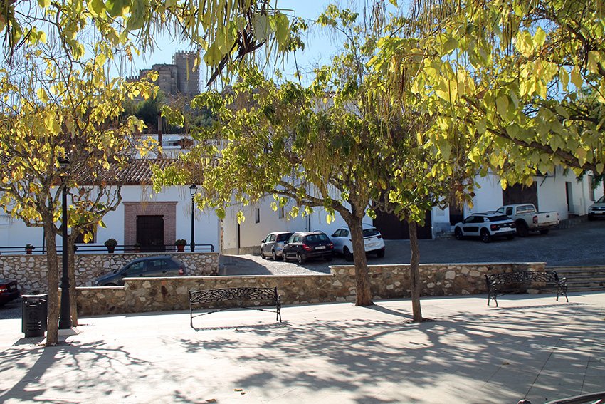
Given the limited capacity of the existing access to the Castle, proposals shall establish a new connection from Santo Domingo Square to Calle Cilla and to the route leading up Castle Hill. In addition to the existing access to the Castle, this will create a second circulation axis that redistributes pedestrian and vehicular traffic associated with the monumental ensemble and makes this area more accessible to residents in the vicinity of Santo Domingo Square.
Several interventions will be undertaken along this second connection.
The first will be the landscape rehabilitation of the terraced area created during the 1990s, with the aim of reducing its current negative visual impact and transforming it into a landscaped area fully integrated into the surrounding urban fabric.
The reorganization of circulation routes will be accompanied by the creation of peripheral parking areas intended to reduce vehicular pressure within the medieval suburb, one of the priority elements to be incorporated into the area. Particular care must be taken to ensure their appropriate landscape integration through urban design and planting strategies that mitigate any potential negative impact. To this end, new green areas shall be designed and parking spaces incorporated into the plot bounded by Calle de los Almendros, Calle Arrabal, and the extension of Calle Boleta. . In the same way, the section of Calle Almendros indicated on the plan shall also be reorganized to provide additional parking spaces.
Finally, with the aim of helping to revitalize the area, the proposal shall include the development of between 12 and 15 public housing units on the adjacent plot, bounded by Calle Boleta, Santo Domingo Square, and the alley connecting them to the north. In all cases, and in accordance with the site-coverage requirements established by the applicable regulations (see “Basic Requirements for the Proposal”), the project shall provide two- and three-bedroom dwellings subject to the following minimum areas: 60 m² for two-bedroom units and 80 m² for three-bedroom units. All dwellings shall include a courtyard. The total number of dwellings, within the range indicated above, will depend on each team’s decision regarding the proportion of two- and three-bedroom units included in the proposal. Although the regulations allow for residential buildings of up to two stories, individual dwellings do not need to be arranged over two floors, and multi-unit residential buildings may also be proposed.
Finally, given their considerable heritage significance, the reorganization of the area must incorporate both the former town wall—whose stability is currently threatened by difficulties in its maintenance and by the effects of vehicular traffic—and the Cilla building, which is intended to become a future museum or cultural facility for the medieval suburb. Participants must therefore include specific measures within their overall design proposals to improve access to both elements, as well as proposals for their rehabilitation and for the improvement of their immediate surroundings, treating them as fundamental components of the area’s urban landscape.